ROTVANTAGE TECHNOLOGIES PVT LTD
Building New World with Robots
Building New World with Robots
Transforming industrial inspection, infrastructure monitoring and operational safety through Artificial Intelligence, UAV technology and Robotics .
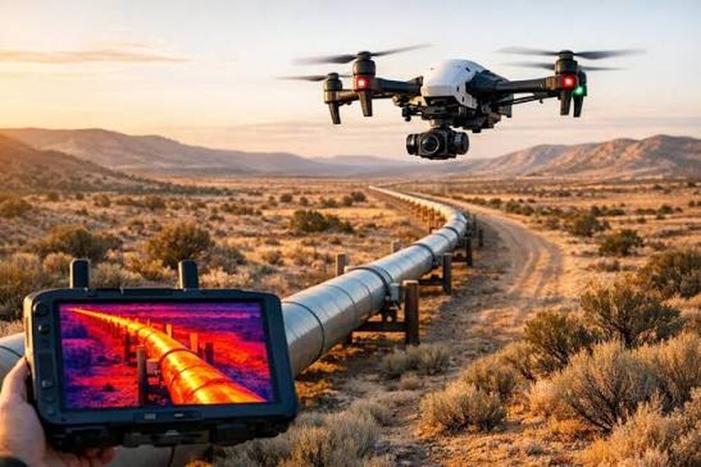
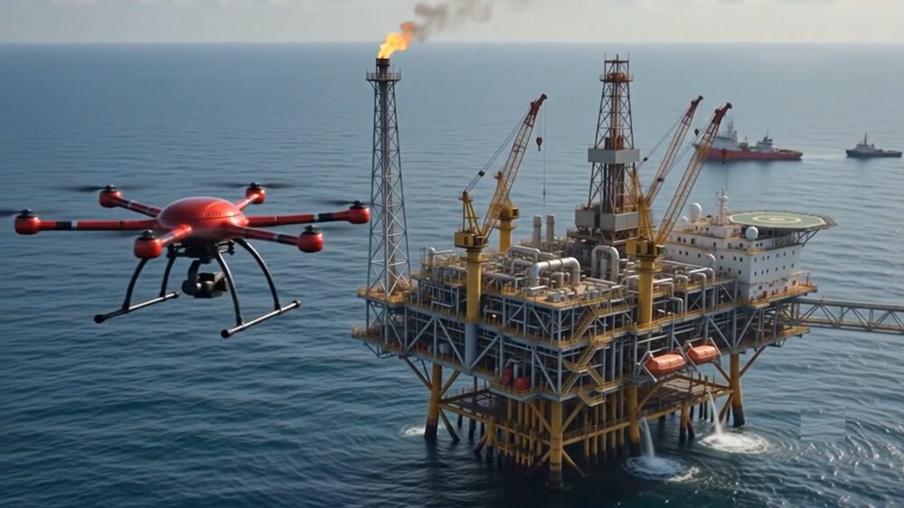
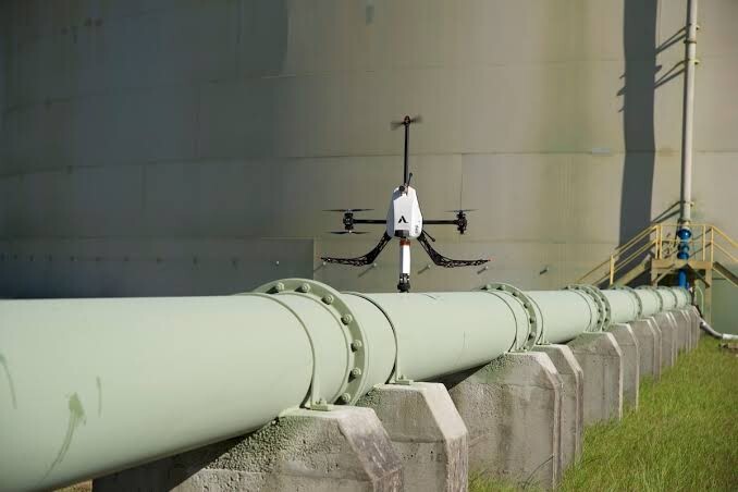
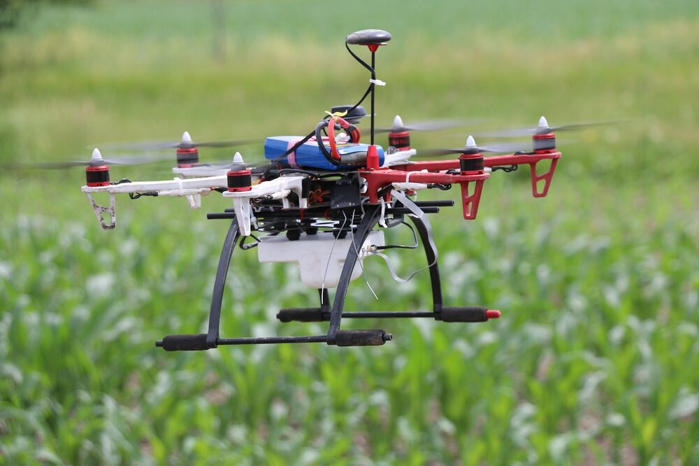
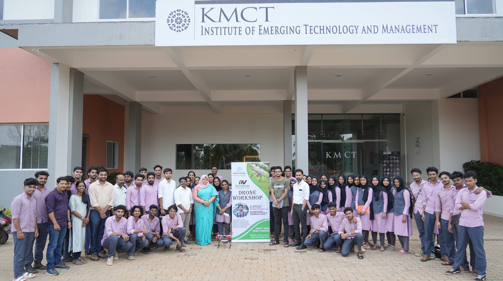
Hardware, software, AI algorithms and geospatial analytics are integrated as one inspection workflow rather than separate tools.
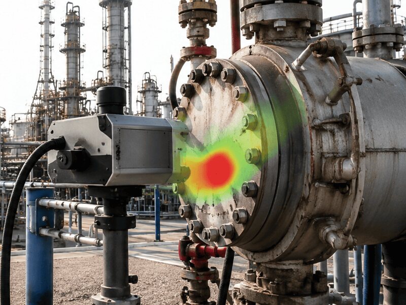
Methane and natural gas leak detection, thermal anomaly detection and restricted-area monitoring.
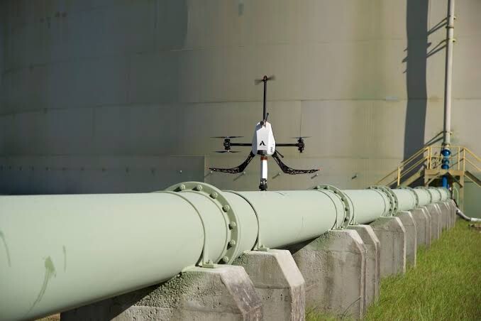
Pipeline anomaly identification and periodic infrastructure surveillance along corridors.
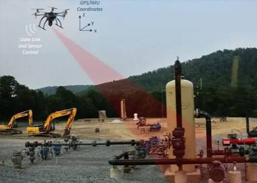
Plant and wellsite scans with GPS / IMU referencing and LiDAR geometry.
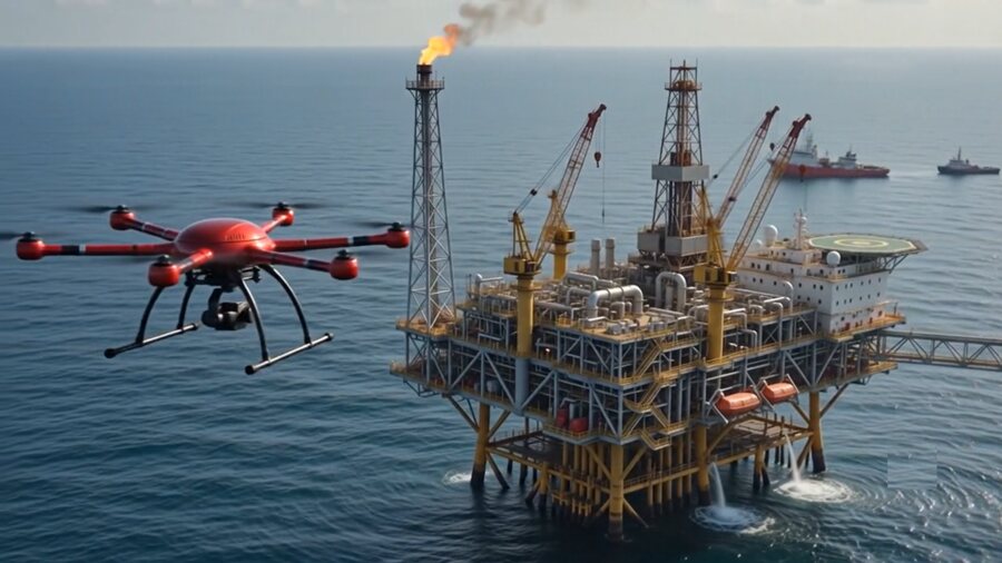
Surveillance of offshore platforms, vessels and coastal facilities.
Images are illustrative and represent technology capabilities. They do not depict completed customer deployments.
Rotvantage Technologies Pvt. Ltd. is a Kerala-based robotics, Artificial Intelligence (AI), and drone technology company established on 16 March 2023. The company specialises in designing and manufacturing customised Unmanned Aerial Vehicles (UAVs), developing AI-powered solutions, and delivering advanced geospatial intelligence for industrial inspection, infrastructure monitoring, and operational safety. By integrating custom-built drone platforms, computer vision, deep learning, thermal and gas sensing, LiDAR, photogrammetry, and GIS technologies, Rotvantage transforms aerial data into actionable intelligence that helps organisations improve efficiency, enhance safety, and make informed operational decisions. The company is recognised under DPIIT Startup India and is part of the Kerala Startup Mission ecosystem.
Rotvantage offers integrated technology solutions across oil and gas infrastructure, petrochemical industries, marine and offshore facilities, industrial safety and security, railway and bridge infrastructure, land surveying, environmental monitoring, and large-scale infrastructure projects. Its capabilities include AI-based fire and smoke detection, methane and gas leak detection, thermal anomaly identification, structural inspection, intrusion detection, 3D mapping, terrain modelling, and automated inspection reporting. With expertise spanning UAV hardware development, AI software, sensor integration, geospatial analytics, and cloud-based monitoring dashboards, Rotvantage aims to engineer intelligent solutions that make industrial operations safer, smarter, and more connected.
| Custom UAV & ROV manufacturing | Design, fabrication and testing |
| Applied AI & machine learning | Computer vision, forecasting and NLP |
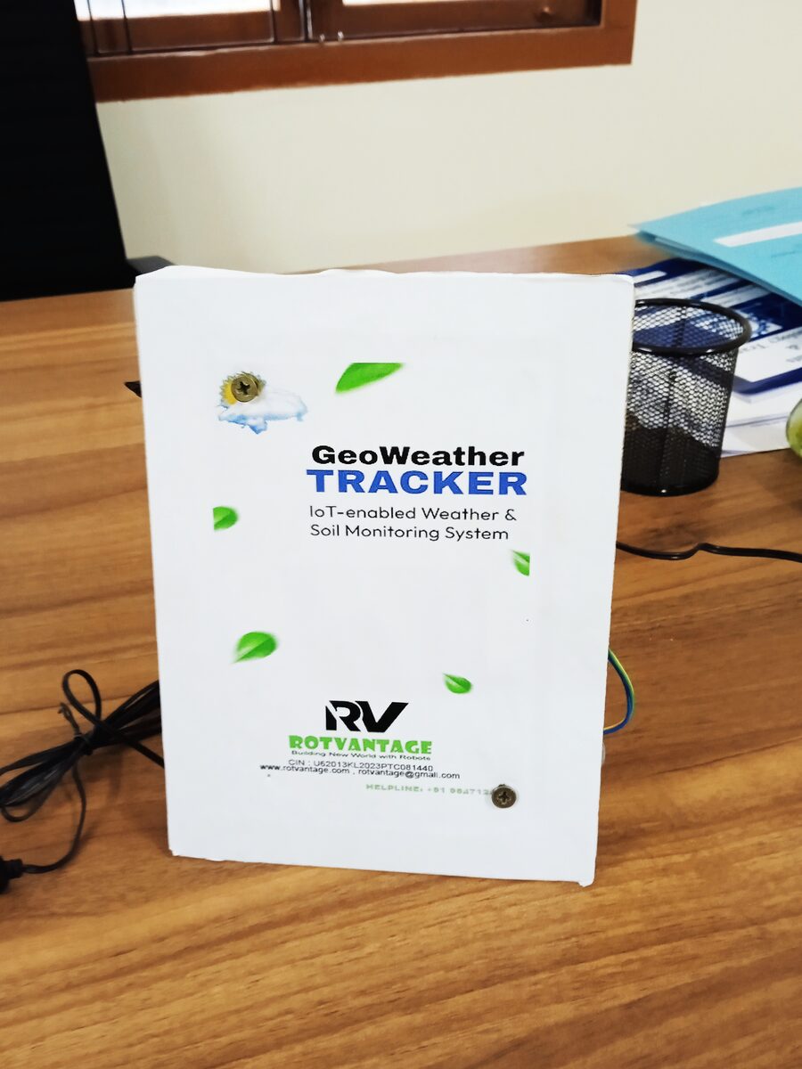
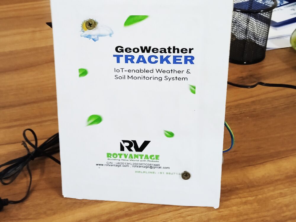
| IoT products | Field devices, e.g. GeoWeather Tracker |
| Training & innovation programmes | Drones, AI and ML workshops |
| Incorporated | 16 March 2023 |
| Recognition | DPIIT-recognised under Startup India |
| Ecosystem | Enrolled with Kerala Startup Mission |
| Offices | Kozhikode & Kochi, Kerala, India |
| Focus | Robotics · AI · Drones · Cloud |
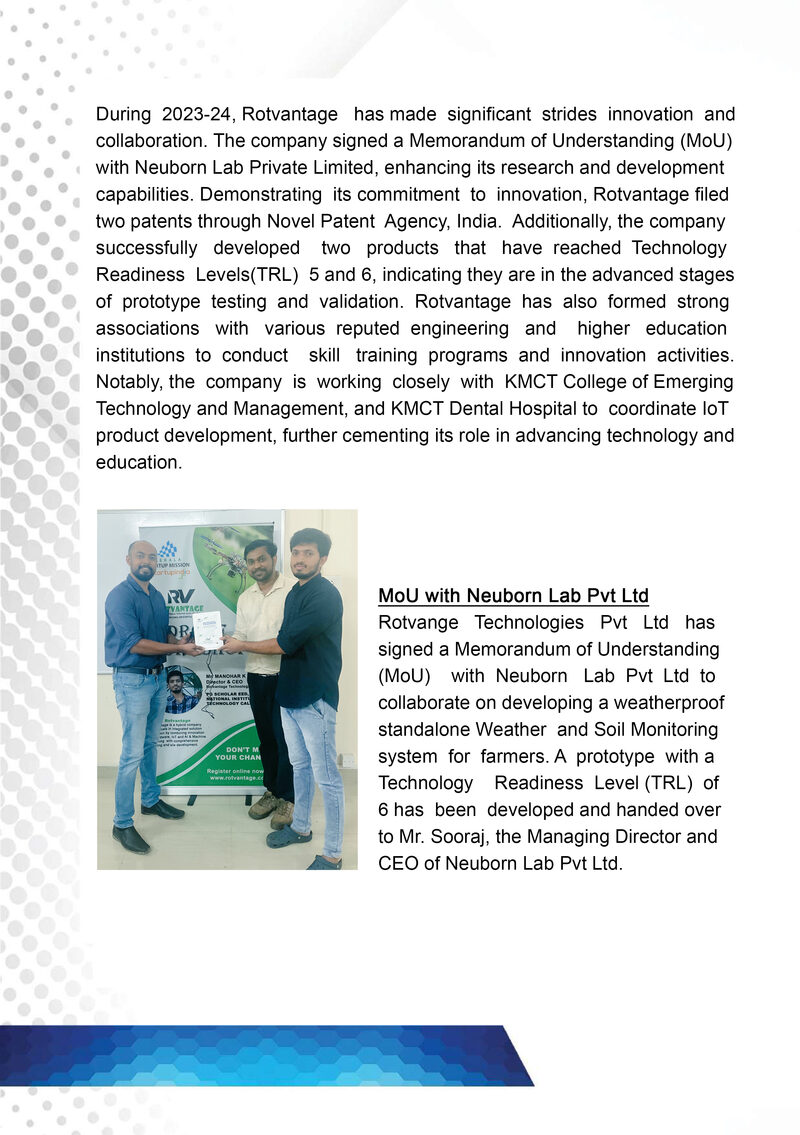
Co-development of the GeoWeather Tracker, a weatherproof Weather & Soil Monitoring system, handed over at TRL 6.
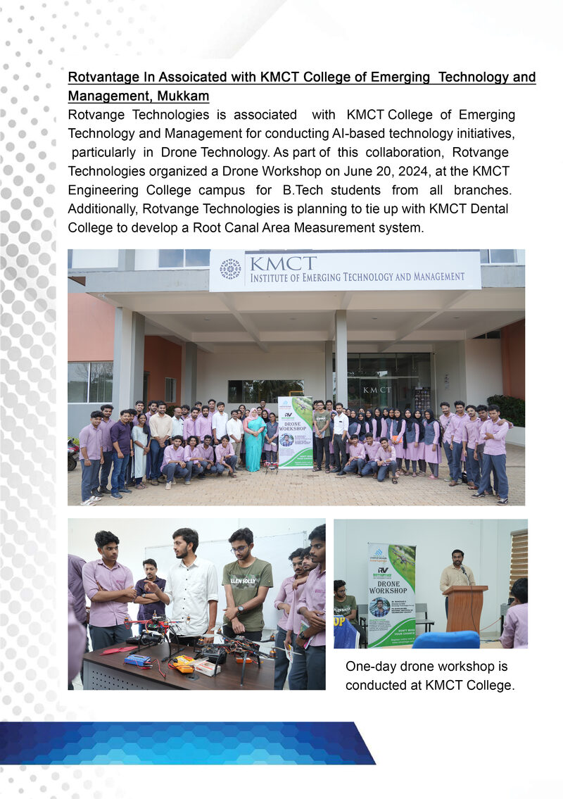
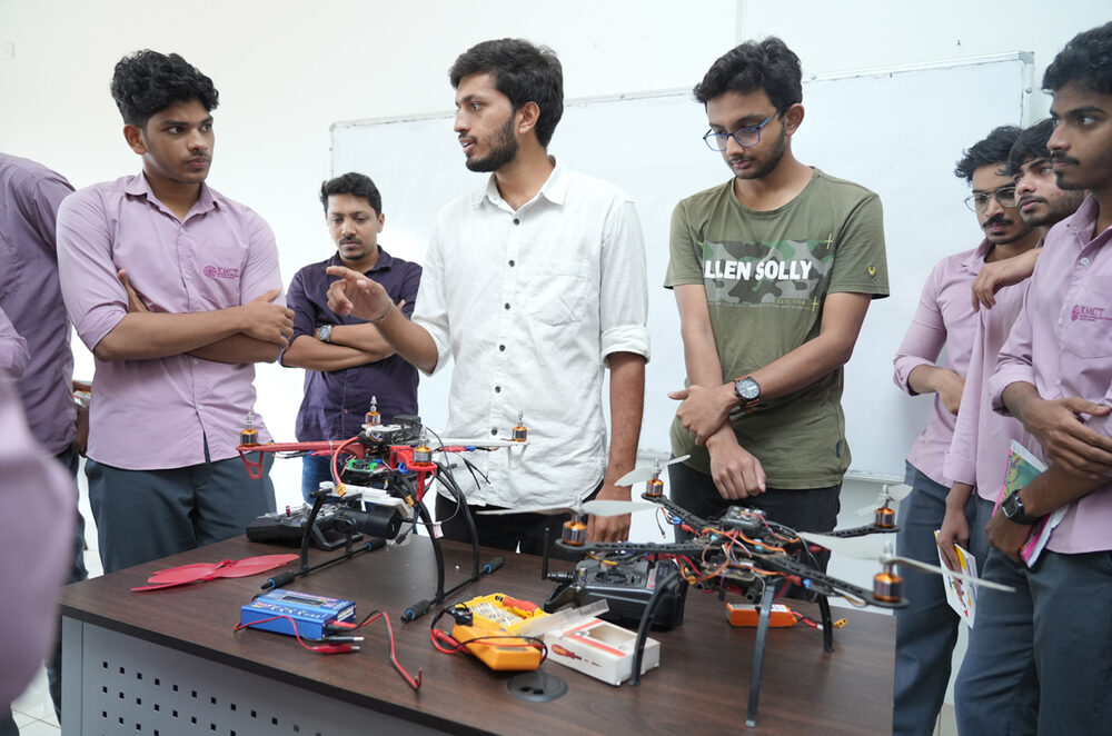
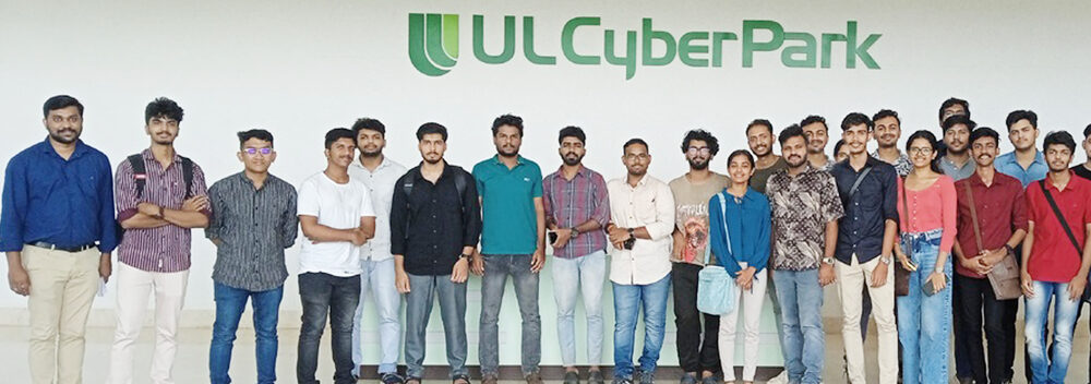
One-day hands-on workshop for B.Tech students of all branches.
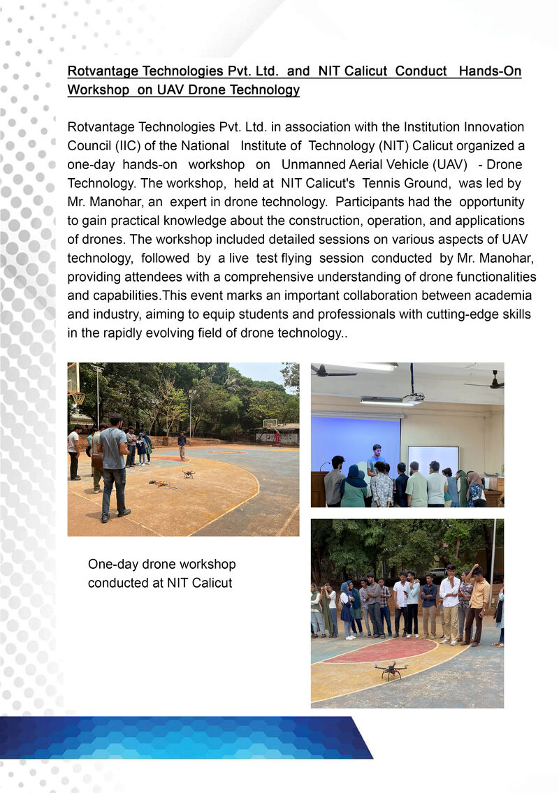
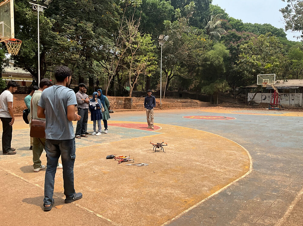
Hands-on UAV technology workshop with a live test-flying session.
A working product already in the field, and airframes configured to your exact mission — sensors, payloads and onboard AI included.
An IoT-enabled Weather & Soil Monitoring System, developed with Neuborn Lab Pvt Ltd as a weatherproof, standalone unit for farmers. The prototype reached Technology Readiness Level 6 and has been handed over for field deployment.
Every airframe below is a starting point, not a fixed catalogue item. Payloads are configured per project.
Pick a solution, request a trial, and see it run against your own input.
Images and interface screens are illustrative and represent technology capabilities. They do not depict completed customer deployments.
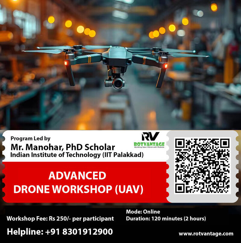
Led by Mr. Manohar, PhD Scholar at IIT Palakkad. A hands-on introduction to UAV construction, operation and applications — the same programme we've run at NIT Calicut and KMCT College.
| Mode | Online |
| Duration | 120 minutes |
| Fee | ₹250 per participant |
| Methane sensing | Dedicated laser-based methane sensor (gas measurement) |
| Thermal inspection | Radiometric thermal camera (surface temperature, not gas) |
| 3D geometry | LiDAR payload with GPS / IMU referencing |
| Visual detection | RGB / zoom camera with AI object detection |
Findings are classified, geotagged and exported for operators and infrastructure management teams.
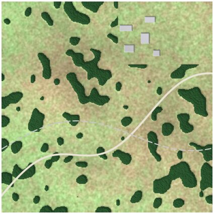
Stitched, georeferenced aerial imagery for measurement.
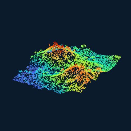
Height-coloured point cloud from LiDAR or photogrammetry.
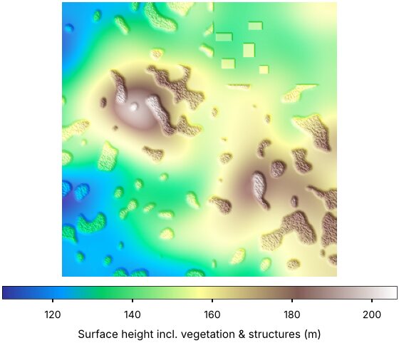
Surface including vegetation and structures.
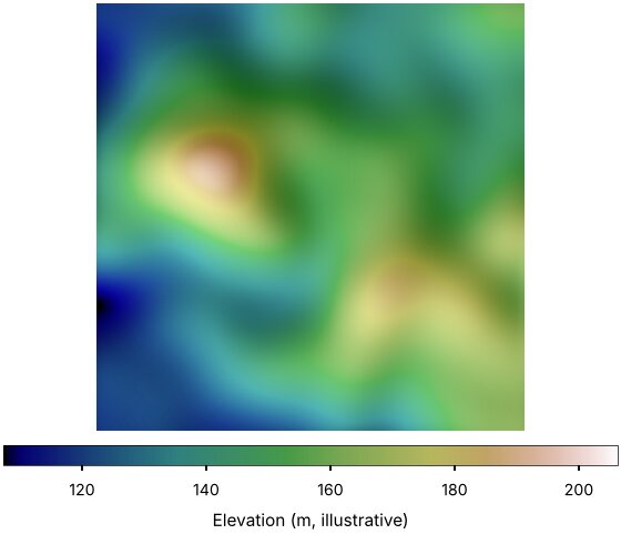
Gridded elevation model, hillshaded.
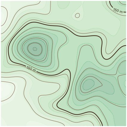
Contour lines derived from the elevation model.
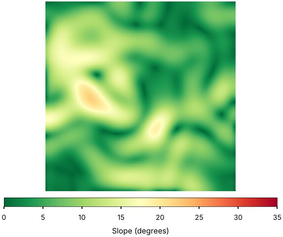
Slope in degrees across the site.
Large-area aerial mapping · Industrial land surveying · Pipeline, railway and road corridors · Infrastructure site mapping · Encroachment and land-use monitoring.
High-resolution image acquisition · Structure-from-Motion (SfM) · Multi-View Stereo (MVS) · Point clouds · Textured 3D models · Orthomosaics · Georeferencing and measurement.
Digital corridor and infrastructure models for planning, design review and change monitoring.
Talk to us about custom UAVs, AI-based inspection, geospatial mapping or training programmes for your team.
| Company | Rotvantage Technologies Pvt Ltd |
| CIN | U62013KL2023PTC081440 |
| Registered office | Door No. 447, Kottisserikkudiyil Building, Maikavu P.O, Thamarassery, Kozhikode, Kerala 673573 |
| Kochi office | 1st Floor, CC54, 2593-5, Bose Nagar, Kadavanthara, Kochi, Kerala 682020 |
| Phone | +91 98955 35281, +91 7907293901 , +91 7306462475 |
| rotvantage@gmail.com, info@rotvantage.com | |
| Status | DPIIT Startup India, Kerala Startup Mission |